- Topographic
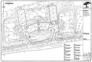
- Boundary
- Floodplain elevation / FEMA Flood Insurance Rate Maps (FIRM)
- Utility mapping
- Wetland and riverfront delineation
- NAD/NAVD
- Plot plans
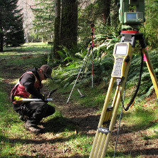
An accurate plan is a must in today’s CAD oriented design world. But not all plans have to show the same level of detail. The Zengineer is adept at acquiring just the right amount of survey information and customizing mapping needs for your site. Respected, local survey companies are utilized when a simple level-and-rod system is not enough.